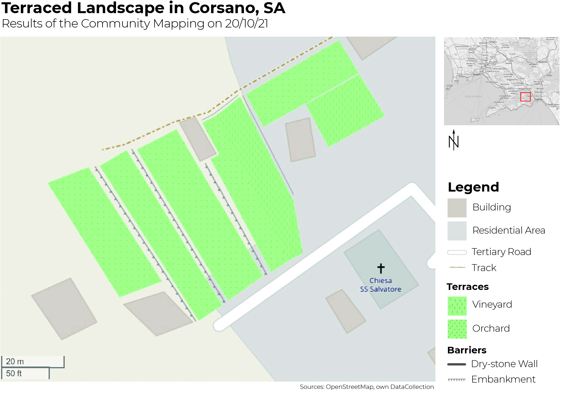
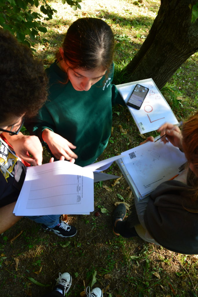
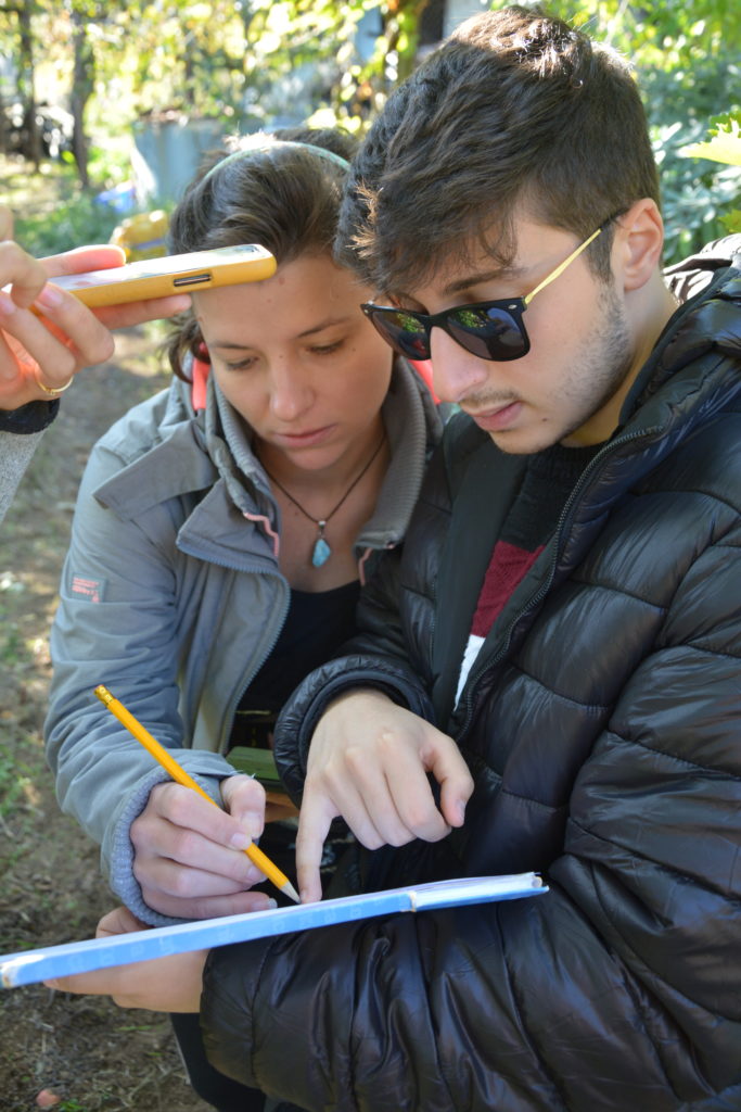
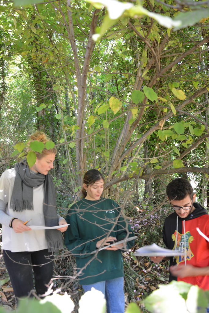
On the occasion of International Landscape Day, the 20th of October, the ACARBIO (Associazione Costiera Amalfitana Riserva Biosfera) team organized a community mapping activity in Tramonti. The participants gathered to go in the field together and map a defined area of terraced landscapes in Corsano, a frazione of Tramonti.
The terraces – a valuable landscape
The Amalfi Coast is characterized by the terraced landscape, which is one of the reasons why it is listed as a UNESCO World Cultural Heritage Site. Since the 12th century the local population of the Amalfi Coast established ways to cultivate the ground on the steep slopes and the diverse terrain of the coast. The creation of terraces makes agricultural cultivation possible and keeps the water in the ground. But at the same time the maintenance of the terraces requires a lot of effort. This is one of the reasons why in recent decades we can observe their gradual abandonment. Other reasons for this trend of abandonment in the last decades is the possibility for farmers to reduce costs by using non-traditional cultivation and reconstruction methods (such as the use of fertilizers or the construction of rebuilt cement walls). Also the lower costs and higher accessibility of cultivation of crops in greenhouses or areas with more accessible terrain are causes for the shift from the traditional cultivation of the terraces in the area to this more extensive way of agriculture.
However the terraces, as an important and unique testimony of past times and traditional rural economy, need to be preserved. By this we refer to traditional agricultural methods, but also arts and crafts, agro-biodiversity, enogastronomy, etc..
Mapping and awareness raising
To raise awareness for the cultural and traditional heritage of the terraced landscape and to show the need for their protection, the environmental NGO ACARBIO implemented a mapping activity of the terraces. Together with Antonia Gravagnuolo and Amedeo De Marco, who assisted in starting the initiative and developing the method, ACARBIO established an easy accessible and user-friendly way for mapping in the field. Participants of the community mapping activity only need a smartphone with an installed App to set GPS-Points. In this initiative which is called Open MAPTER, locals and volunteers from the association undertake site visits of terraced areas and map their structure. The mapping activity can be seen as a pilot project for other environmental institutions with similar aims and purposes of making unmapped areas more visible for all interested parties on a local, regional and (inter)national level.
The mapping is not only meant to show the location, count and shape of the terraces within the region but to also give information about the actual state of the mapped areas. According to that the mapping also includes data collection of the condition of traditional dry stone walls that build the barrier between terraces or of potential water canalisation and stairs of the terraces. Those and other features, such as cultivation type and current crop on the terraces, can not be extracted from satellite data. This is why the in-situ data collection is required.
Community mapping in Tramonti
For the community mapping on October 20th, the team of ACARBIO gathered at the associations office in Corsano, a frazione of Tramonti, a mountainous area a few kilometers away from the coast. The participants got a short introduction and were taught how to use the app and how to collect the required data. After that the group splitted up into smaller subgroups and conducted the data collection on different terraces of the selected area. After the mapping in the field the data from all subgroups was brought together and was validated. After the insight and editing of the data, ACARBIO entered it into the online-database of openstreetmap.org. The online tool Openstreetmap makes the data free and accessible for everyone.

As part of the initiative Open MAPTER, ACARBIO volunteers regularly will continue this activity to not only raise awareness about the infrastructure of the cultural landscape, but also on a wider perspective by adding the mapped area to the online map of Openstreetmap.org.
“For me it was interesting to experience how community mapping really works and what kind of challenges we had to face in the mapping process. Not only the accessibility of the terraces depicted a challenge for us, but also the user-friendliness of the tools. Despite the difficulties we managed to map the area together as a group and it is a nice feeling to really see the results on OpenStreetMap afterwards!”
Teresa Haab, intern at ACARBIO
Outlook: The vision of the project
The ambitious aim of the mapping pilot projects is to find a process that is user-friendly and accessible and therefore depicts a realistic model for the mapping of the whole Amalfi coast. To eventually reach the much needed goal of a map that illustrates as many terraces as possible will make them more visible.
Their comprehensive representation on an online map represents an important step on the way of reaching a raised awareness for the terraced landscape and its cultural, traditional and social importance.
Find more about ACARBIO under: https://www.acarbio.org/open-mapter-map-the-terraces/
Written by: Linda Widmaier
intern at ACARBIO and student of
Geography (B.Sc.) and
Spatial Planning (M.Sc.) at the Technical University Vienna


